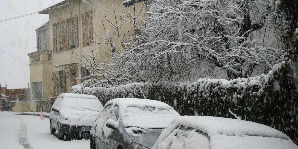
Snow hits central and northern france: weekend weather outlook february 8 - 9
- Select a language for the TTS:
- UK English Female
- UK English Male
- US English Female
- US English Male
- Australian Female
- Australian Male
- Language selected: (auto detect) - EN

Play all audios:

UP TO 80CM MAY FALL IN PARTS OF THE CÉVENNES MOUNTAINS ALONGSIDE SIGNIFICANT RAINFALL An untempermental weekend will see snow in parts of the north and centre of France, with dreary weather
along the Mediterranean. However, temperatures will not be as cool as initially expected, rising above national averages for February during parts of the weekend. Conditions are set to be
less severe than expected at the beginning of next week. FRIDAY FEBRUARY 7 The previously dry conditions seen so far this week will abruptly disappear as rain hits the north and north-west
of France as well as the Mediterranean near the Spanish border and the Cévennes mountains. As the day progresses, rain will fall in the south-west also. Bitter winds pushing in from Germany
will see conditions become chillier and windier – gales of up to 90 km/h are expected in Auvergne – but also turn some of this precipitation into snow. In Brittany and Normandy, a dusting
of snow is expected, with up to 3cm falling locally, although it will not continue into the weekend. In the Cévennes, up to 80cm is set to fall over the weekend, at altitudes of 1,200m and
above. At lower altitudes, this will mix with significant rainfall, as seen below. > Voici la chronologie de la dégradation #météo prévue au sud-est > à partir de demain soir, avec
beaucoup de #neige sur le > Massif-central dès 800 à 1200 m d'altitude ❄️❄️Une bonne > nouvelle pour les stations ⛷️mais la circulation risque d'être > compliquée.
pic.twitter.com/NIWYDaNU58 > — La Chaîne Météo (@lachainemeteo) February 6, 2025 Significant snowfall will also occur in the Alps and Pyrénées. Temperatures will be chillier than so far
this week – highs of 3C in parts of the north and east, and 15C in the south – but will feel cooler in most areas due to wind and rain. Read more: What to do - and not do - in a red or
orange weather alert in France SATURDAY FEBRUARY 8 Snow will continue to fall for much of the day in the Cévennes and Alps, but will not be widespread in the north although a handful of
snowflakes is possible. Only the south-west and eastern areas near the German border are set to remain dry, with other areas seeing at the very least showers. The Mediterranean coast, in
particular the south-east, will see heavier rain and winds that last throughout the day. Skies will be mostly cloudy although the sun may appear undisturbed in the Pyrénées. Temperatures
will be higher than the rest of the week – between 5C and 8C in the north and around 10C for much of the south – as the national average temperature shoots up to 1C higher than usual for
mid-February. This jump follows several days where it was below average. Read more: Major route to ski stations in French Alps set to reopen after rockfall Heightened alerts are in place
in four departments for snowy/icy road conditions (neige-verglas) on Saturday, in Ardèche, Haute-Loire, Lozère and Aveyron. Further heightened warnings may be raised if conditions
deteriorate over the weekend. You can find official warnings via state forecaster Météo France. SUNDAY FEBRUARY 9 The worst of the weather will clear in most areas except the south-east,
which is set to remain grey and rainy throughout Sunday. Cloud and winds will persist along the rest of the Mediterranean, but rain is unlikely. Elsewhere conditions are set to be dry with
partially sunny skies, even if a chill remains in the air from the bitter winds. Further snowfall is unlikely except at the highest altitudes anywhere except the south-east, where the
Alpine foothills may see snow at lower altitudes than usual. Forecasters are yet to confirm how low the snow will fall, however. Temperatures will be cooler in the north than they were over
the weekend (between 3C and 6C) although remain stable in the south despite the conditions. The start of next week will see temperatures drop everywhere but especially in the north, before
they rise rapidly by the end of the week.